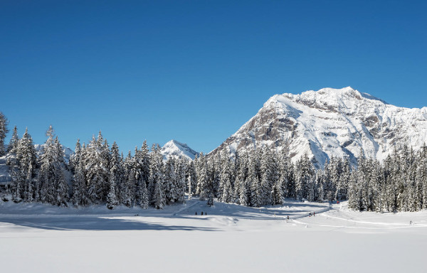
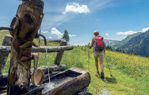
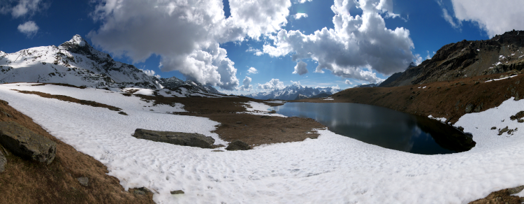
- Itinerario
- Active & Green
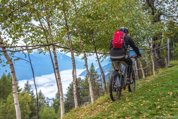
- Cycle Tourism
Chiuro - San Gaetano
Rhaetic Alps - Chiuro

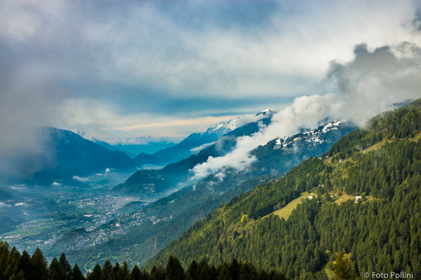
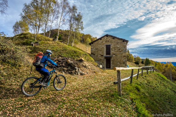
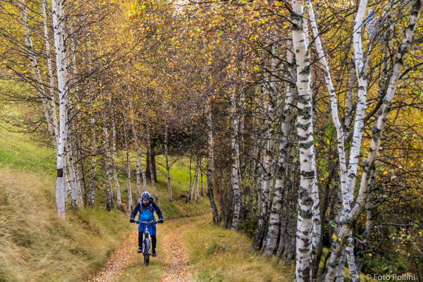
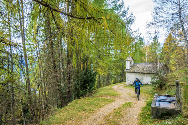
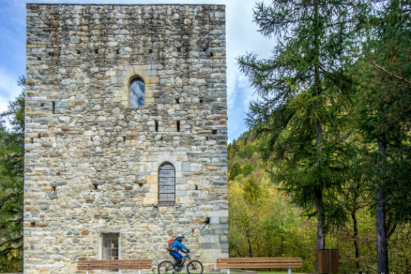
This route follows a long ridge on the Rhaetian slope, between the dip of Val Fontana and the rise of Teglio-Prato Valentino. It is fairly long with quite a big difference in altitude but the gradient is always constant at about 10%. It starts on the level, in the car parks close to state road 38 and continues along the provincial road towards Teglio. At Castionetto turn left onto the tarmacked road, following signs towards Dalico. After the last houses you will see the characteristic Torre di Pedenale. After several hairpins you will come out of the woods at about 1400 metres asl in the meadows in Dalico. From here continue along the rough track, passing the small church of San Gaetano and reaching the last baita or mountain chalet, at almost 1700 metres asl. Wonderful views of Valtellina and the Orobic mountains are guaranteed.
(Texts and technical data by Federico Pollini)
- Departure place: Chiuro, 355 m
- Arrival place/maximum quota: Costa di San Gaetano, 1695 m
- Ascending sections total length : 14,8 km
- Descending sections total length: 14,8 km
- Plain sections total length : 0 km
- Average ascent grade: 9 %
- Maximum ascent grade: 11 %
Mostra cosa c'è nelle vicinanze: