- Itinerario
- Active & Green
- Cycle Tourism
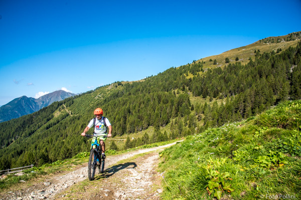
Montagna - Alpe Mara
Rhaetian Alps - Montagna in Valtellina

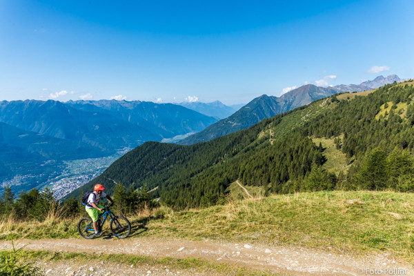
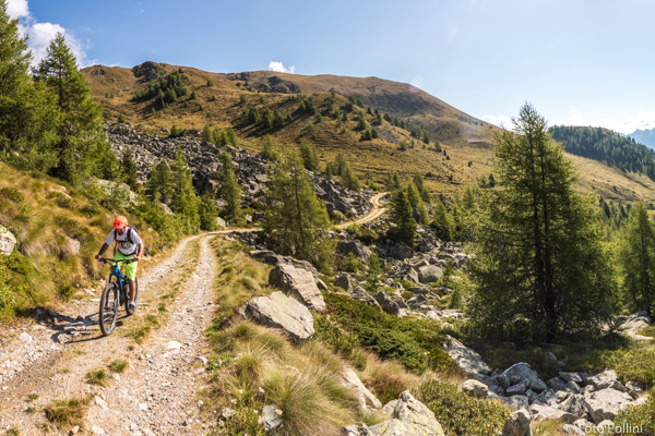
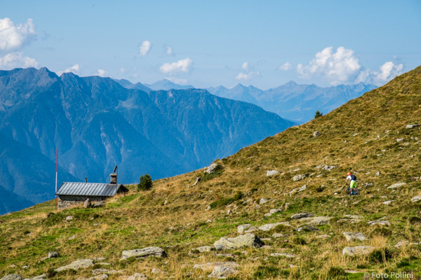
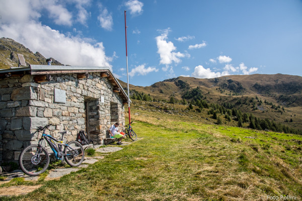
Overall difference in altitude, length, type of terrain, average and maximum gradient - those features combined make this route difficult and complicated. If you are not very fit, you will be forced to often use medium/high pedal assist, quickly consuming energy and meaning that one battery will likely not be enough. The road is tarmacked to just after Scessa, at about 1300 metres asl. After this it continues over loose stony terrain, up hairpin bends into the woods to the small car park in Mara as you come out of the trees. From here the gradient rises sharply with concrete ramps at the Mara barracks and even looser terrain for stretches until the last crossing that brings you to the Rifugio Gugiatti-Sertorelli. Your efforts will be repaid by amazing views of the valley, the Orobic mountain range to the south and Monte Disgrazia to the west.
(Texts and technical data by Federico Pollini)
- Departure/return place: Montagna in Valtellina, 580 m a.s.l.
- Arrival place/maximum quota: Rifugio Gugiatti-Sertorelli, 2130 m a.s.l.
- Ascending section total length: 15,4 km
- Descending section total length: 15,4 km
- Plain section total length : 0 km
- Average ascending grade: 10 %
- Maximum ascending grade: 24 %
Mostra cosa c'è nelle vicinanze: