- Itinerario
- Active & Green
- Cycle Tourism
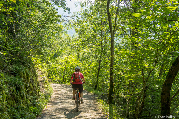
Piateda - Tracciolino - Gaggio
Orobic Alps - Piateda

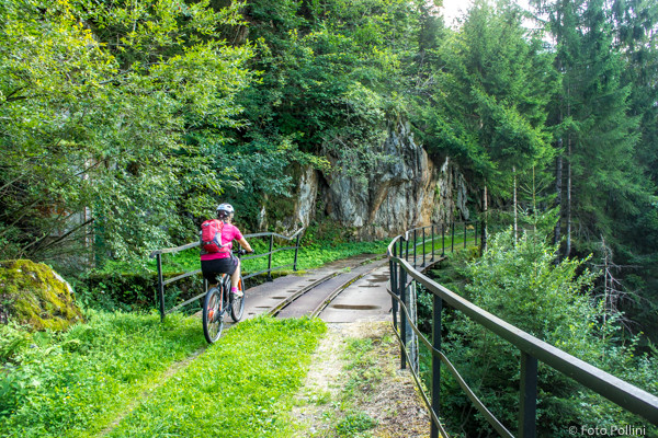
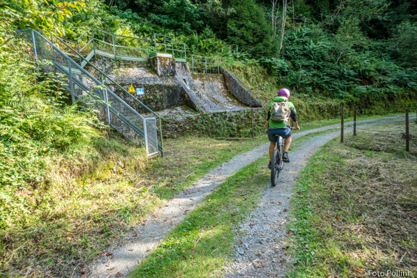
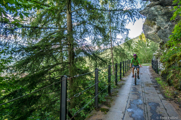
This circular route on the Orobic slope follows part of the disused “decauville” between Briotti (Ponte) and Gaggio (Piateda). The crossing stays constantly just above the 1000-metre mark, through truly beautiful natural scenery. Obviously you first have to get up there, climbing on tarmac along the road from Piateda, through Sazzo and a few steep hairpins in Val d’Arigna and up to Fontaniva. Take the right-hand fork, again with a gradient of about 10%, to Dosso del Grillo just below Briotti (sports centre). Continue along this road, which soon turns into the wide “tracciolino” trail. The next five-kilometre crossing takes you through pine forests, small valleys, streams and old waterway constructions such as bridges and weirs. You will come out above the artificial Gaggio Lake and start back down on a tarmacked road to Piateda.
(Texts and technical data by Federico Pollini)
- Departure place: Piateda, 310 m
- Arrival place/maximum quota: Gaggio, 1050 m
- Ascending sections total length : 10 km
- Descending sections total length: 10,3 km
- Plain sections total length : 4,7 km
- Average ascent grade: 7 %
- Maximum ascent grade: 12 %
Mostra cosa c'è nelle vicinanze: