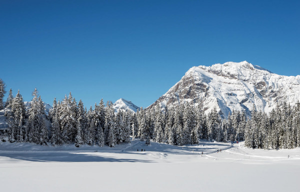
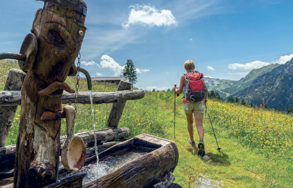
- Active & Green
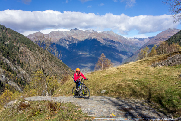
- Cycle Tourism
Ponte in Valtellina - Val d'Arigna
Alpi Retiche - Ponte in Valtellina

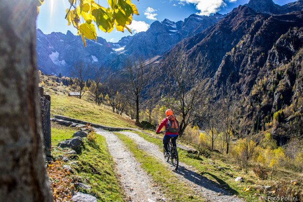
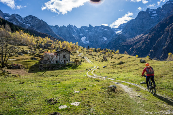
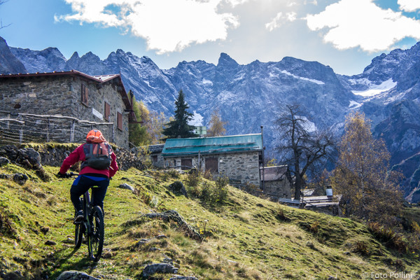
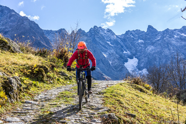
This route winds through Val d’Aringa, one of the most beautiful valleys in the Orobic mountain chain. It starts at the railway station in Ponte and it is tarmac from here to Fontaniva-Arigna with a constant gradient of about 8%. A compact rough track takes you into the valley, on long straight stretches to the Armisa power plant. The car park above is the start of the steepest climb, a rough track with some concrete parts that, about 3 kilometres later, comes out at Foppe on the upper valley shelf. Continuing along the steep loose mule track with a gradient of up to 20% then brings you to the mountain chalets or baite in Prataccio, set in an unspoilt natural amphitheatre “up in the mountains” at Cime del Druet, Pizzo Coca col Dente and the small Lupo glacier. At Foppe you can turn left onto the rough track to Campei mountain chalet.
(Texts and technical data by Federico Pollini)
- Departure/return place: Ponte in Valtellina - train station, 375 m
- Arrival place/maximum quota: Prataccio in Val d'Arigna, 1450 m
- Ascending sections total length: 11,8 km
- Descending sections total length: 11,8 km
- Plain sections total length: 0 km
- Average ascent grade: 9 %
- Maximum ascent grade: 20 %
Mostra cosa c'è nelle vicinanze: