- Itinerario
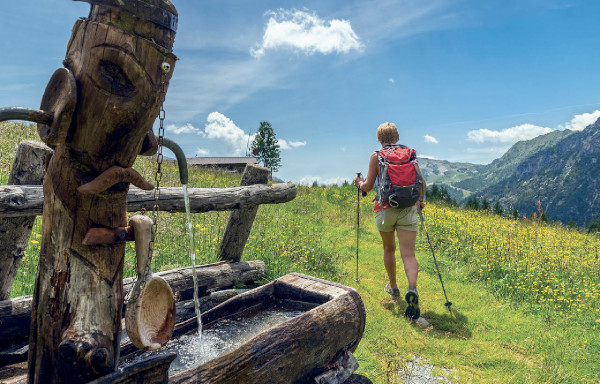
- Active & Green
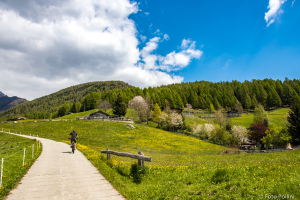
- Cycle Tourism
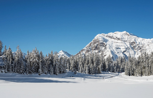
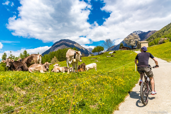
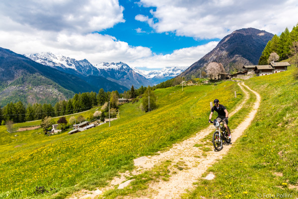
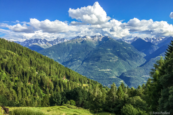
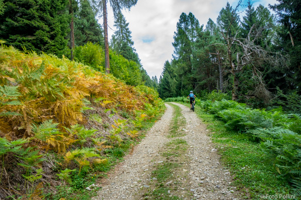
Montagna in Valtellina - Carnale - Davaglione

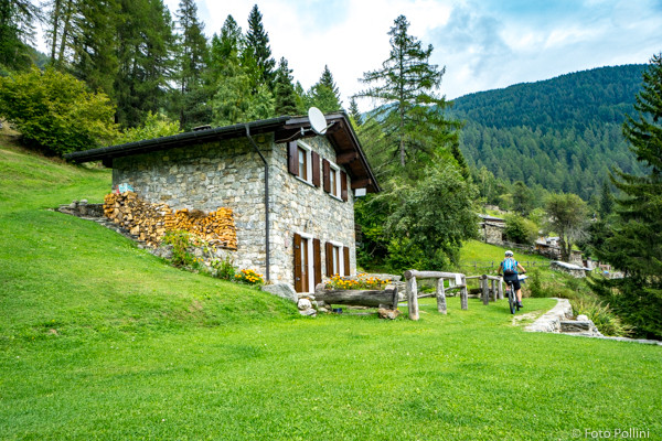
This is a complete scenic route with a long hard climb and downhill stretch that follows the Alpe Mara road. It has steep gradients that increase (over 10%) from Montagna to San Giovanni, but especially before you reach the upper meadows of the Alpe Carnale (up to and over 15%) where medium pedal assist may be needed. The rough track goes into the woods, up several steep hairpins and then diagonally eastwards below Dosso della Foppa at 1400 metres asl. Having reached the first car park, go down to the right along a short trail to the first baite or mountain chalets in Davaglione. A trail then takes you across the meadow and through the woods, coming out on a bend in the road down from Alpe Mara. From here, on a rough track and then tarmac to the end, you quickly ride back to Montagna and complete the circle.
(Texts and technical data by Federico Pollini)
- Departure place: Montagna in Valtellina, 580 m
- Arrival place/maximum quota: Davaglione Piano, 1440 m
- Ascending sections total length : 10,3 km
- Descending sections total length: 10,3 km
- Plain sections total length : 0 km
- Average ascent grade: 8 %
- Maximum ascent grade: 15 %
Mostra cosa c'è nelle vicinanze: