- Itinerario
- Active & Green
- Cycle Tourism
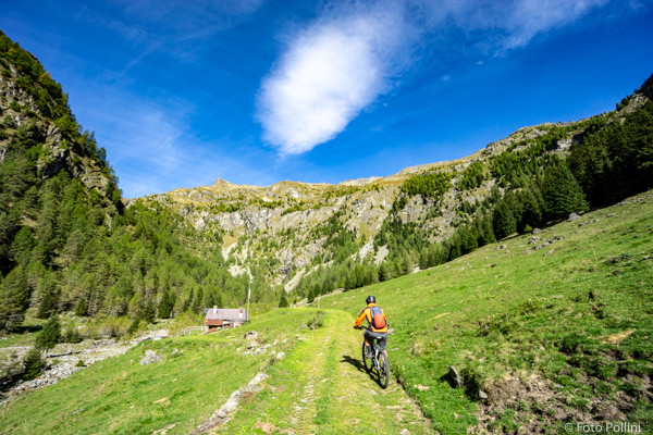
Ponte in Valtellina - Val Fontana
Alpi Retiche - Ponte in Valtellina

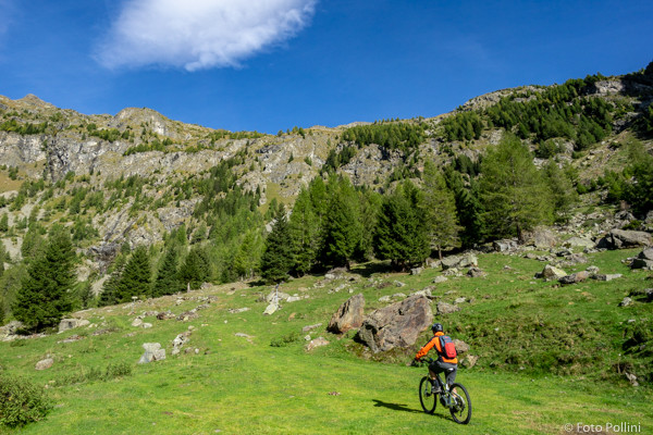
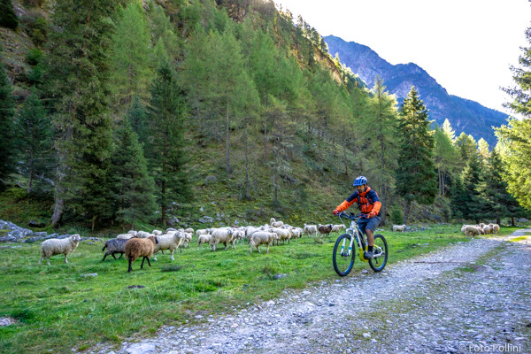
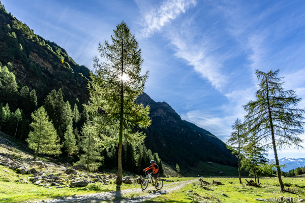
You start from the railway station, pedal up towards Ponte and take the road on the left up through the apple orchards and past the beautiful fourteenth-century church of San Rocco. Then into Val Fontana on tarmac with a feasible gradients of about 10%. Over the river on the covered wooden bridge and a series of hairpins bring you to the group of mountain chalets or baite in Sant’Antonio. A little further on, the tarmac becomes a rough track and in some parts the gradient rises to more than 10%. You will come to splendid Piano dei Cavalli, an unspoilt plan with wooden mountain houses and pastures, from where you can see the valley bottom. The route ends at Alpe Campiascio, about 1700 metres asl. Starting from Ponte you can take an alternative much shorter route that goes left after the church of San Rocco and leads to San Bernardo.
(texts and technical data by Federico Pollini)
- Departure place: Ponte in Valtellina, railway station, 375 m
- Arrival place/maximum quota: Alpe Campiascio in Valfontana, 1720 m
- Ascending sections total length : 17 km
- Descending sections total length: 17 km
- Plain sections total length : km
- Average ascent grade: 8 %
- Maximum ascent grade: 15 %
Mostra cosa c'è nelle vicinanze: