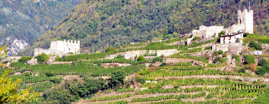
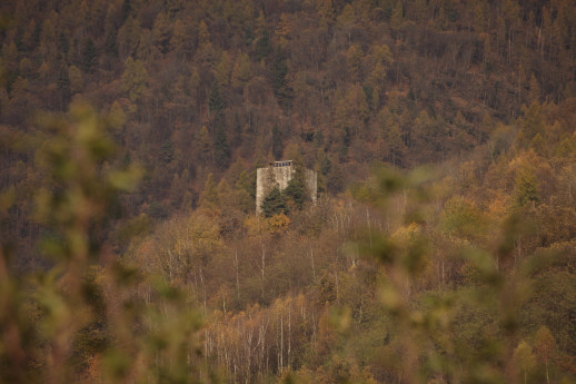
Tower of Castionetto
The Tower of Castionetto in Castionetto di Chiuro belonged to the Quadrio family and dates back to an age between Twelfth and Fifteent century. The tower was built in a dominant position and served the purpose of controlling the surrounding territories. The building is made of huge stone blocks, it has a quadrangular plant and its walls are so thick - more than 2.5 m at the base - that can contain a vaulted staircase linking the floors.The tower is not preserved in its full height and we do not know whether the second floor had a barrel vault just like the lower floors.The main portal is very well preserved and, for security reasons, it was located at a height of 3 m above ground. Two slits above the door and other details suggest that it featured a drawbridge.A door at ground level was made later in time and it led to a room probably used as a deposit, which was previously accessibile through a trapdoor.